Credit
Joey Kotfica
This is the term for the many different types of maps, signs, signals and communications that travelers use to get around.
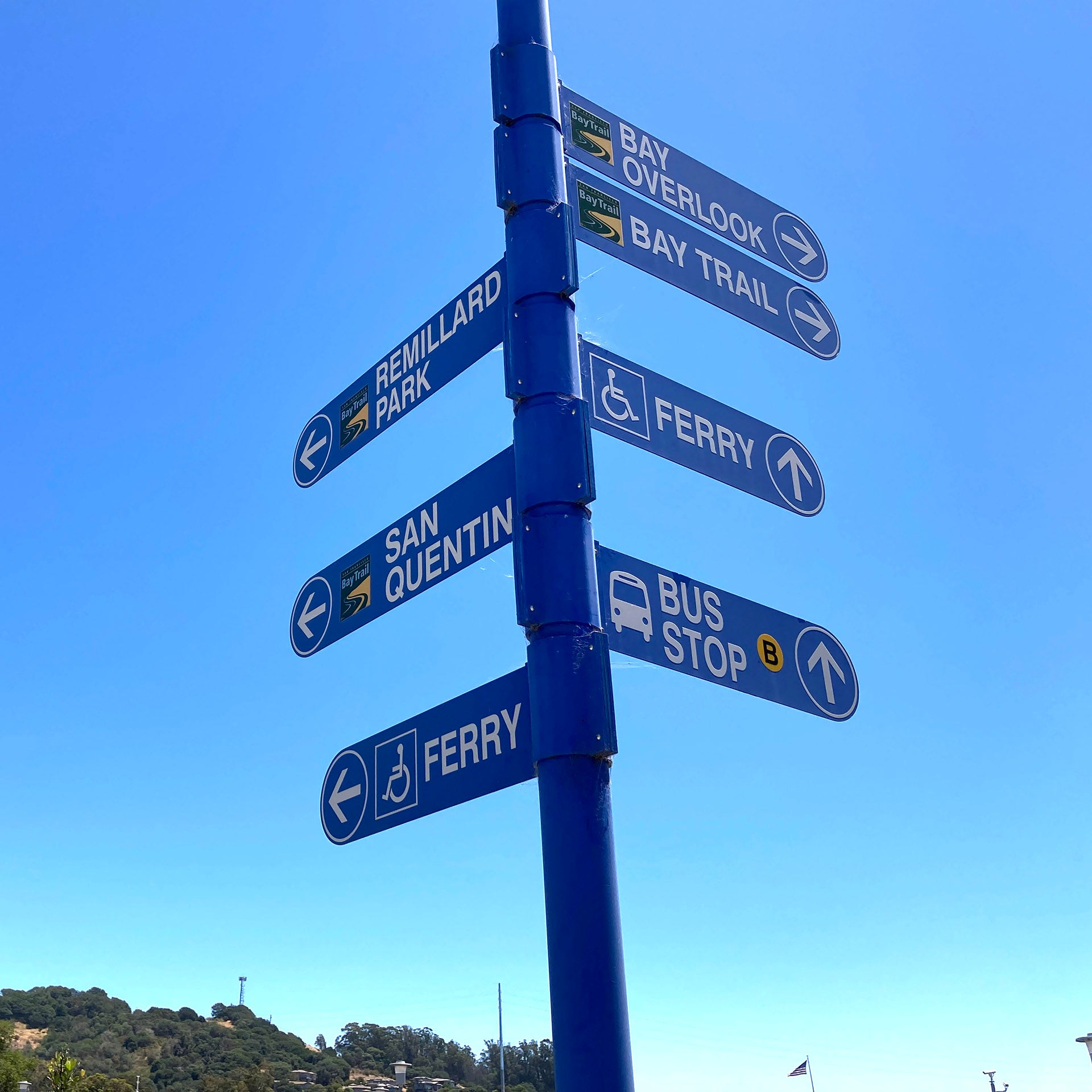
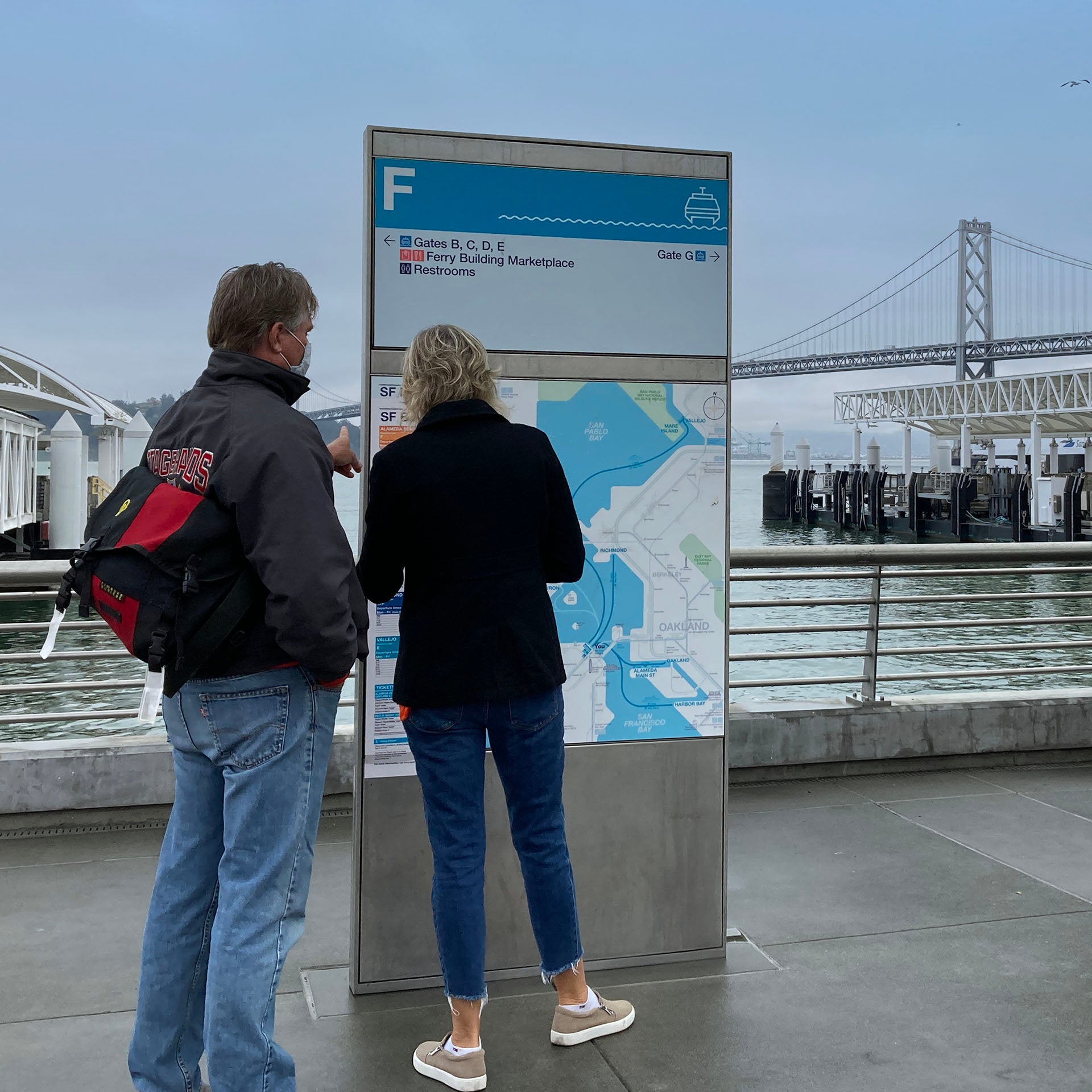
Streets and highways have a standardized wayfinding and signage system, but transit wayfinding varies from place to place. MTC’s Mapping & Wayfinding project is working to create easily recognizable signs that will make it easier for travelers to get around.
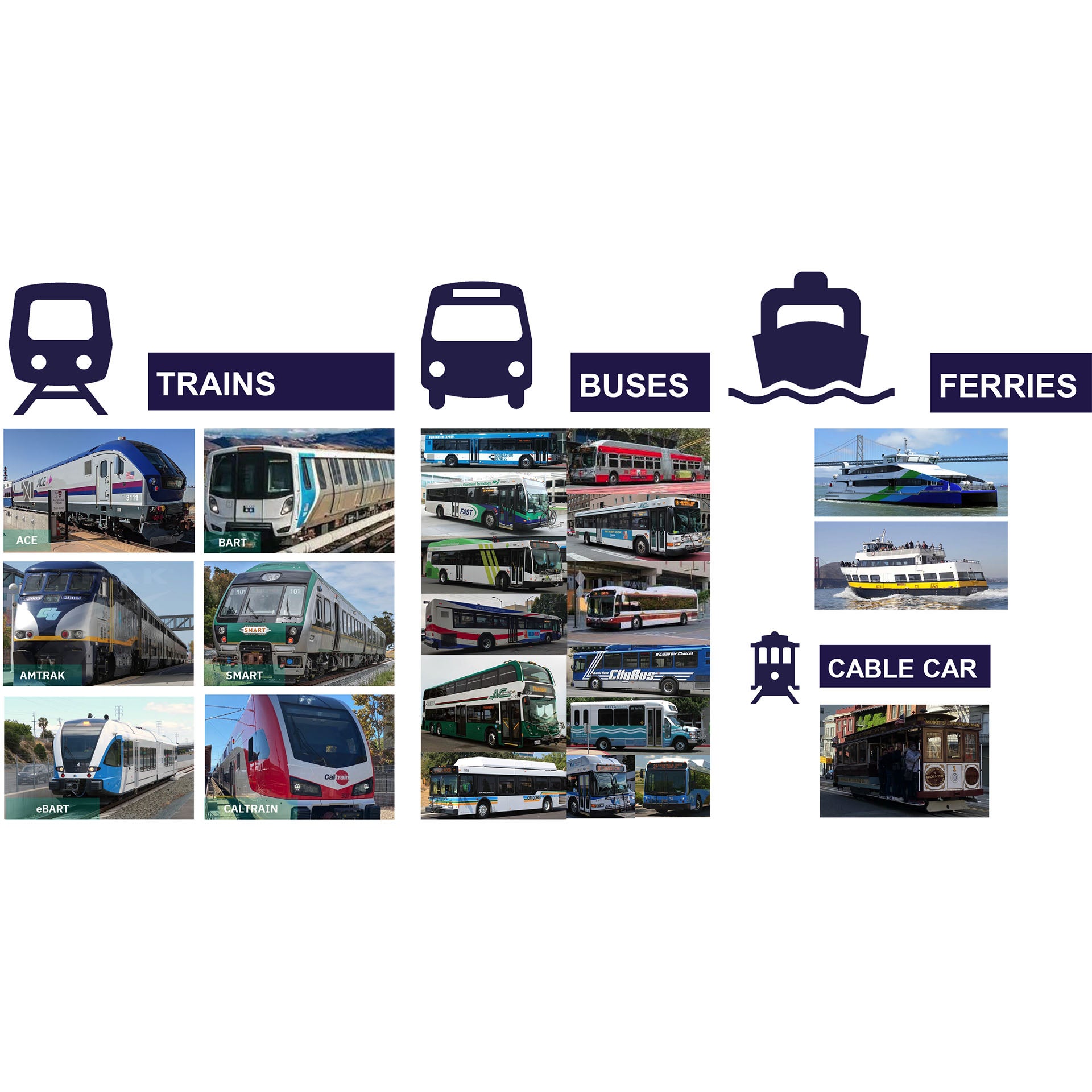
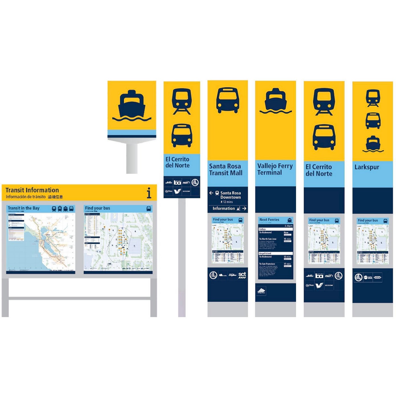
In the Bay Area, there are more than 27 transit agencies, and each one uses its own symbols, maps and signs. (This image only shows some of the many transit operators.)
MTC is working with transit agencies, members of the public and transportation experts to develop a new system that will make it easier for people to use transit.
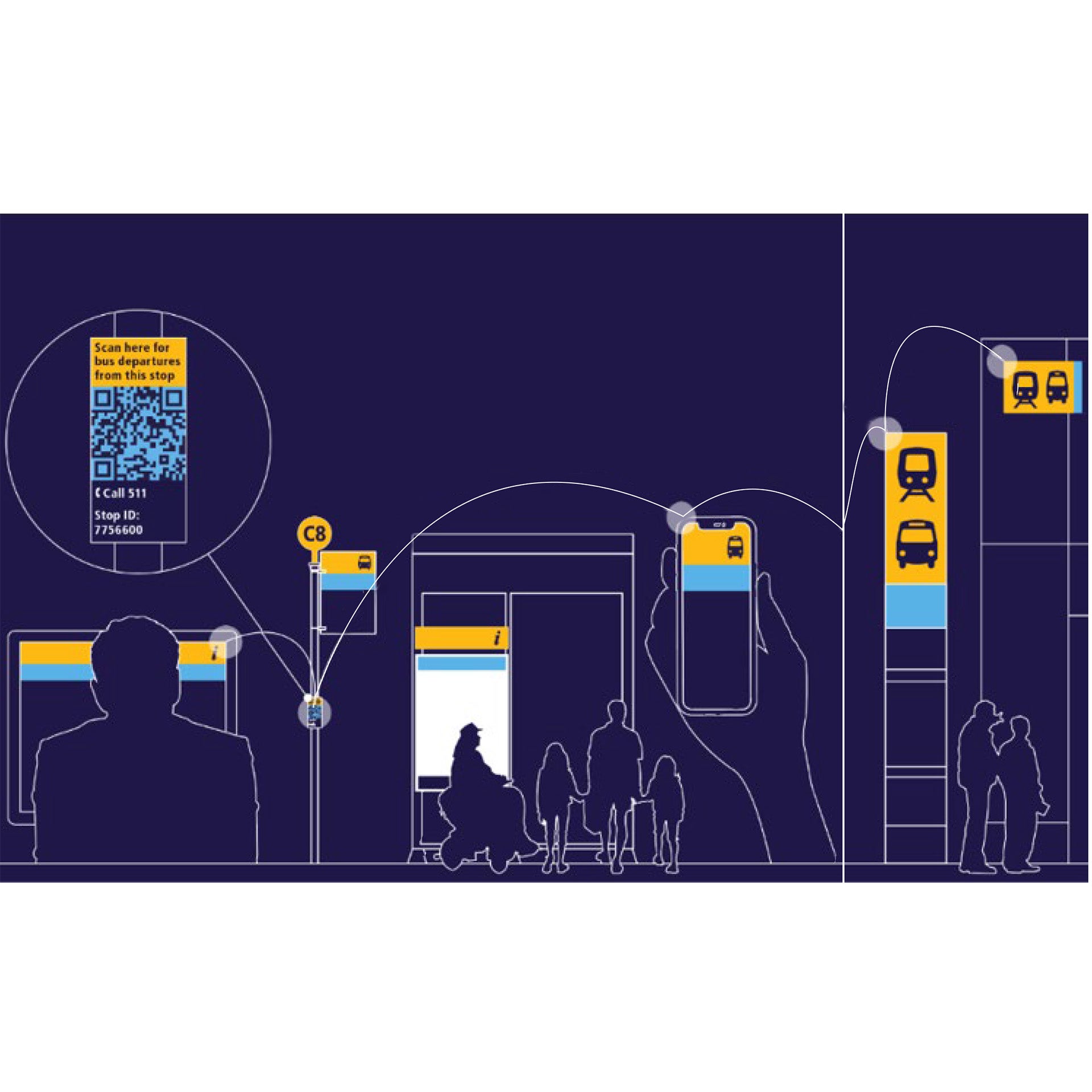
Later this year, MTC plans to release a universal system of maps, icons, transit stop and station signs, and other materials to make riders' experiences on transit vehicles (buses, trains, ferries) more consistent.
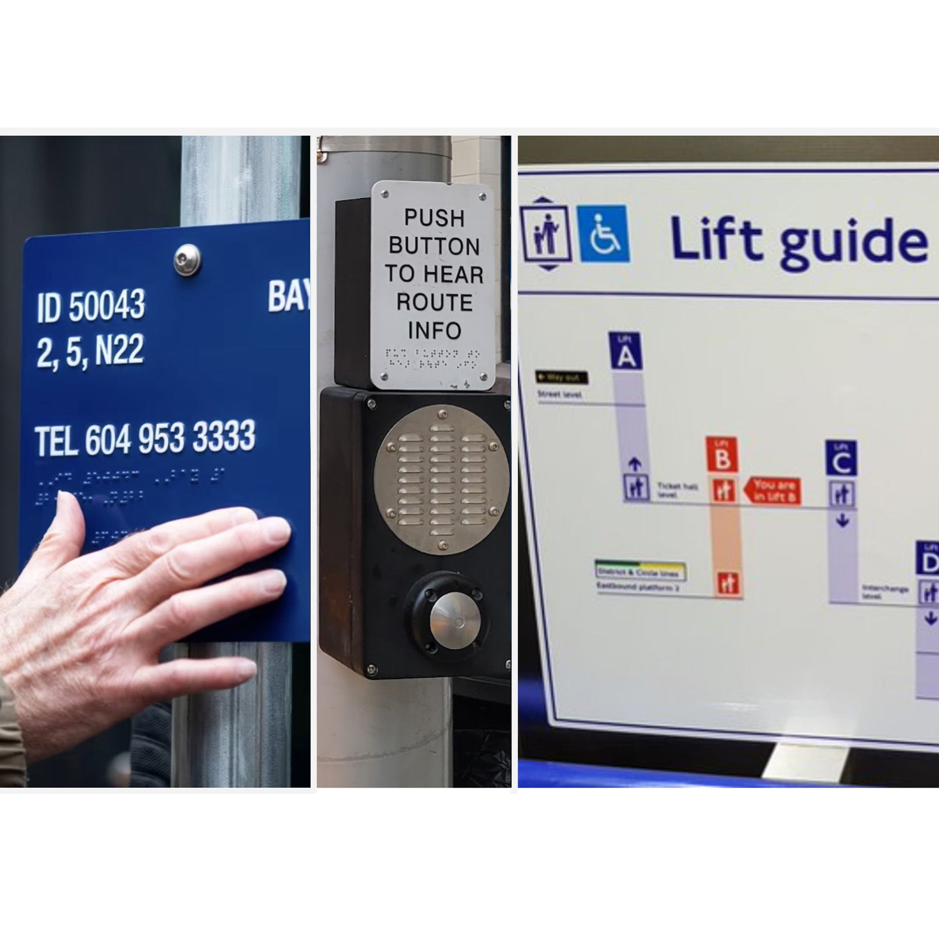
This new system will include support for people with disabilities, multilingual access, and both digital and printed materials to accommodate more riders' needs.
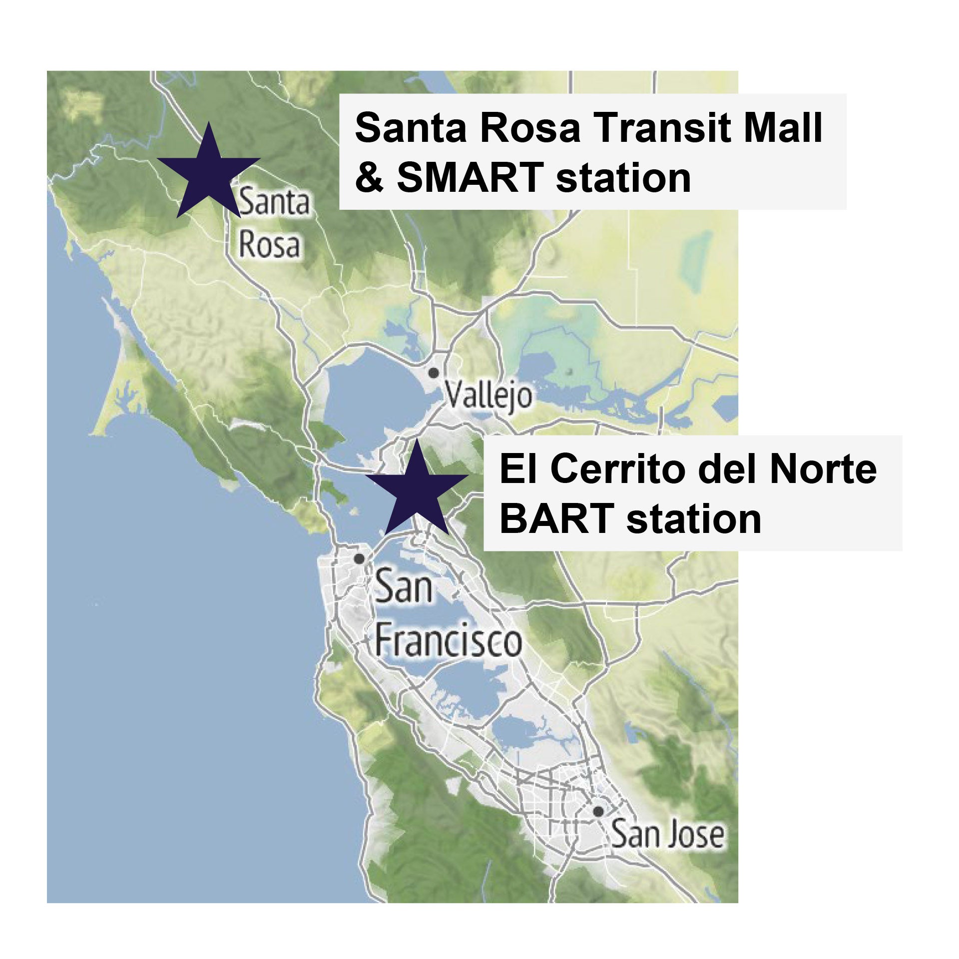
In 2024, look for prototypes at El Cerrito del Norte BART station and the Santa Rosa Transit Mall & SMART station. You’ll be able to provide feedback on site.