New BARC Report Calls for Regional Action on Climate Change and Other Threats, Invites Public Comment by January 15, 2018
The Bay Area Regional Collaborative (BARC) today announced the release of a new report entitled Raising the Bar on Regional Resilience, which details the Bay Area’s vulnerabilities to sea level rise and other effects of climate change, flooding, earthquakes, and other hazards. The report also provides an action plan for developing a regional response to these threats. Developed by BARC and key partners including the Association of Bay Area Governments (ABAG), the Bay Conservation and Development Commission (BCDC), the Metropolitan Transportation Commission (MTC), the State Coastal Conservancy (SCC), and the San Francisco Estuary Partnership (SFEP), the report calls for the establishment of a comprehensive, integrated Regional Resilience Plan that will help the Bay Area adapt, recover and push forward in the face of both immediate and long-term challenges.
Through case studies of Bay Area communities including San Rafael, East Palo Alto, Oakland and Hayward, Raising the Bar identifies vulnerabilities — such as transportation infrastructure, fragile housing, disadvantaged communities and close-to-shore natural areas — that cannot be addressed solely at a local scale, and provides a variety of strategies for planning, adaptation and response.
“This past year has brought an unprecedented number of catastrophic climate events upon many vulnerable people and places in the United States and around the world,” said BARC Executive Director Allison Brooks. “Over the last several years, the Bay Area has seen its own extreme climate events moving from drought to flooding to wildfires. Taken together, these events bring a sense of urgency to making our communities, infrastructure and environment more resilient.”
Raising the Bar offers six steps to regional resilience that include developing a regional governance strategy for climate adaptation, strengthening policy leadership on the topic, providing technical assistance, enhancing built and natural infrastructure, and creating new funding for adaptation projects. BARC is accepting public comments on the draft report until January 15, 2018. Comments may be sent to: barcadmin@bayareametro.gov
Raising the Bar on Regional Resilience: Report Highlights
Taking the Risks Seriously: A Look at the Numbers
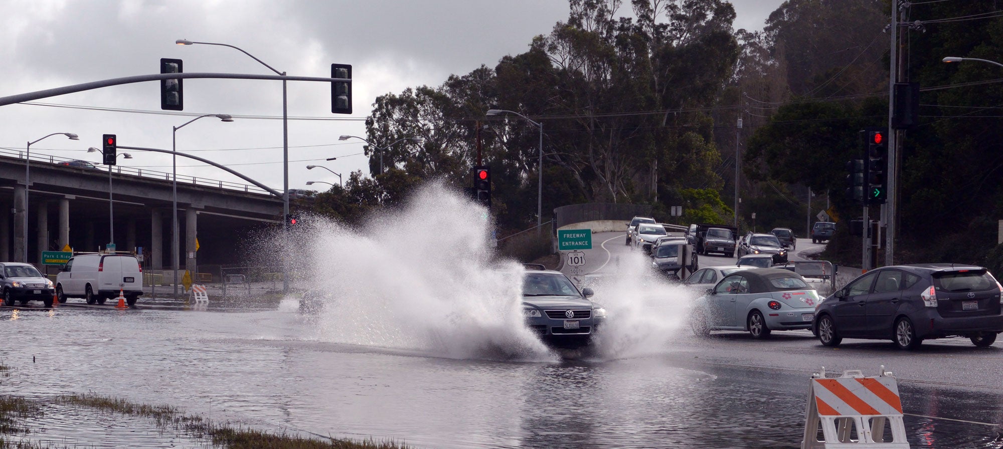
Threats to the Bay Area’s urban and social resilience include many hazards associated with the region’s geographic setting and changing climate. With its low-lying shorelines and major active earthquake faults, the Bay Area faces risks including earthquakes, flooding, sea level rise, drought, heat, changes in precipitation and fire. For example:
- More than 8,000 acres of developed land along the Bay are already at risk from 100-year coastal storms, according to BCDC. Many of the region’s existing sea walls, levees and flood control structures are inadequate, seismically unsafe, or in need of maintenance and upgrades, while other areas have little or no flood protection at all.
- The National Research Council’s 2012 projections for San Francisco Bay suggest that by 2050, the Bay is likely to be 12 to 24 inches higher. Beyond 2050, the rate of sea level rise may increase to 36 to 66 inches above current levels. Sea level rise of 66 inches would inundate tens of thousands of acres of developed land along the Bay — with particular impacts on housing for disadvantaged communities as well as critical transportation infrastructure — and hundreds of thousands of acres of conservation land.
- One hundred thirty-four of the 188 Priority Development Areas (PDAs) identified for future housing and job growth in Plan Bay Area 2040 — the region’s long-range transportation plan and sustainable communities strategy jointly developed by MTC and ABAG — are vulnerable to existing or predicted flooding due to sea level rise. Forty-nine of the 188 PDAs are vulnerable to permanent flooding at 66 inches of sea level rise.
- The United States Geologic Survey estimates there is a 72 percent probability of at least one earthquake of magnitude 6.7 or greater striking somewhere in the San Francisco Bay region before 2043, potentially displacing hundreds of thousands of residents.
- The rainy winter of 2016-17 brought unprecedented flooding to the cities of San Jose and Santa Clara with the Santa Clara Valley Water District reporting over $102 million in flood damage. Additionally, state Route 37 linking Solano, Napa, Sonoma and Marin counties was closed for weeks due to flooding.
- In October 2017 the devastating North Bay wildfires claimed 43 lives and caused the damage or destruction of 8,400 structures in Sonoma and Napa counties, with thousands of residents left homeless and many unable to find affordable replacement or temporary housing.
Six Steps to Regional Resilience
Building off the steps to strengthen regional resilience outlined in the Action Plan of Plan Bay Area 2040, Raising the Bar details six steps that BARC, its member agencies and regional partners must take in order to develop an integrated Regional Resilience Plan:
- Develop a regional governance strategy for climate adaptation projects.
- Provide stronger policy leadership on resilient housing and infrastructure, focusing on communities with high social vulnerability and exposure to natural hazards.
- Create new funding sources for adaptation and resilience projects that will protect against flooding, earthquakes and exposure to environmental health risks.
- Establish and provide a resilience technical services team that can share best practices, data, mapping, staff, financial resources, public participation processes and policy actions across jurisdictions, non-profit organizations, academic institutions and the regional agencies.
- Expand the region’s network of natural infrastructure such as marshlands to reduce flood risk, strengthen biodiversity, enhance air quality, and improve access to urban and rural public spaces.
- Establish a Bay Area Regional Advance Mitigation Program (RAMP) to identify environmental mitigation opportunities for transportation infrastructure projects at a regional scale early in the planning process, thereby improving project delivery and conservation outcomes.
For each of the above actions, the report provides further information on partners, timelines, relevant ongoing projects and specific desired outcomes.
Case Studies of Regional Vulnerabilities
Finally, the report details four regional vulnerabilities along the Bay’s shore and along fault lines that affect transportation, housing, disadvantaged communities and natural areas. The report examines how these vulnerabilities play out on the ground in locations including Oakland, San Rafael, East Palo Alto and Hayward. In each case, the report provides an overview of the regional assets at risk in the event of disaster, the impacts of disruption, as well as strategies for adaptation, planning, and regional and local response.
- Case Study 1 – Oakland Coliseum Area and Bay Farm Island – Alameda County: This case study examines vulnerable transportation infrastructure, including shoreline corridors and the vast majority of locations prioritized for future development around the area’s transportation hubs.
- Case Study 2 – Central San Rafael and the Canal District – Marin County: This case study examines vulnerable housing, especially older and multi-family homes in need of seismic retrofits and more flood protection.
- Case Study 3 – East Palo Alto – San Mateo County: This case study examines disadvantaged and vulnerable communities that may lack the resources or information to prepare for, survive or recover from a disaster.
- Case Study 4 – Hayward Shoreline – Alameda County: This case study examines natural areas along shorelines (including parks, trails and wildlife habitats) at the frontline of risk from rising seas.
Addressing all four of these vulnerabilities in an integrated fashion — with regional leadership, funding commitments, a priority on equity and technical support for all — will reduce risks, strengthen regional resilience and provide the foundation for the development of an integrated Regional Resilience Plan.
BARC was created through state legislation to foster the coordination of the Bay Area’s regional agencies on issues of regional significance. The Collaborative includes representatives from the Metropolitan Transportation Commission, the Association of Bay Area Governments, the Bay Conservation and Development Commission, and the Bay Area Air Quality Management District. BARC’s website can be reached at: bayarearegionalcollaborative.org