Each month a new map is presented to the Commission to help explain important trends in the Bay Area, across the nation and around the world. These custom-crafted maps are prepared by MTC’s Data & Visualization team.
Each month a new map is presented to the Commission to help explain important trends in the Bay Area, across the nation and around the world. These custom-crafted maps are prepared by MTC’s Data & Visualization team.

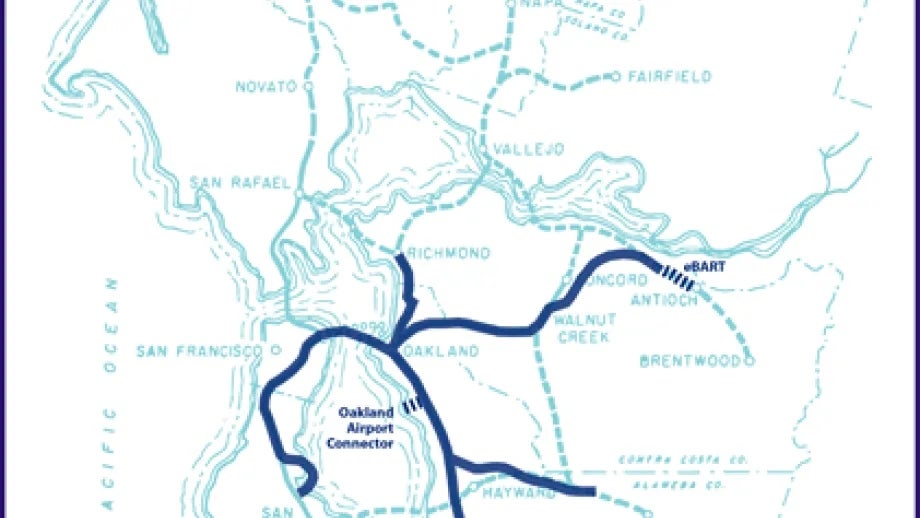
Our map of the month mixes something old with something new. We dug up a historical map showing the original plans for building and extending BART, circa 1957. Then we superimposed the actual BART system as it stands today, along with new segments that are under construction. You can see that as originally conceived the core BART system (indicated by a solid light blue line) would have extended across the Golden Gate deep into Marin County, as well as traveling down the Peninsula on the West Side of the Bay to Palo Alto. While the Marin and Palo Alto segments never happened, the rest of the BART system conforms fairly well to the original blueprint for the first-stage system.