Each month a new map is presented to the Commission to help explain important trends in the Bay Area, across the nation and around the world. These custom-crafted maps are prepared by MTC’s Data & Visualization team.
Each month a new map is presented to the Commission to help explain important trends in the Bay Area, across the nation and around the world. These custom-crafted maps are prepared by MTC’s Data & Visualization team.

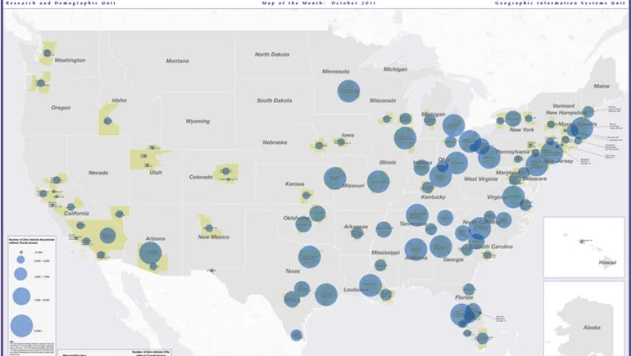
In the nation's 100 largest metropolitan areas, about 7.5 million households do not own a vehicle and 700,000 of those zero-vehicle households also do not have access to regular public transit service. This combination places these households at a severe mobility disadvantage in obtaining access to jobs, school, and other vital destinations. The good news depicted in this map is that while the Bay Area is home to the 6th largest concentration of zero-vehicle households in the U.S., about 98% of those households in our region also are located in areas served by public transit. As the map clearly shows, the story is much different in the eastern half of the nation.