Each month a new map is presented to the Commission to help explain important trends in the Bay Area, across the nation and around the world. These custom-crafted maps are prepared by MTC’s Data & Visualization team.
Each month a new map is presented to the Commission to help explain important trends in the Bay Area, across the nation and around the world. These custom-crafted maps are prepared by MTC’s Data & Visualization team.

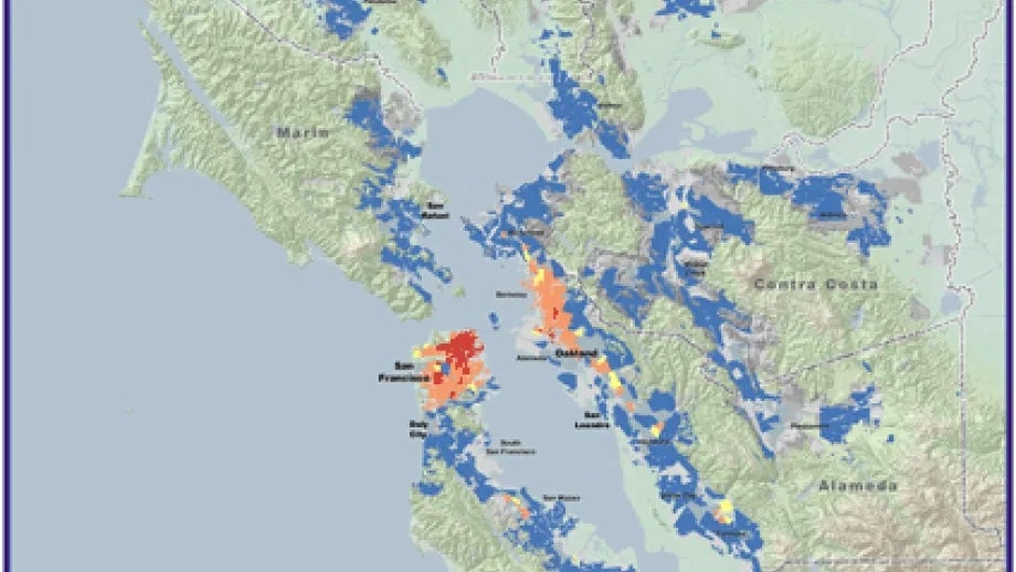
The map of the month shows the number of Essential Destinations (Schools, Food Stores, Health Services, Social Services, Banks, and Places of Worship) accessible from Bay Area locations within a 30-minute transit trip. These data are depicted at the TAZ level and are clipped to show urbanized areas. San Francisco shows the most significant access to essential destinations using transit, with some areas showing that over 1500 essential destinations are accessible within a 30 minute transit trip.