Each month a new map is presented to the Commission to help explain important trends in the Bay Area, across the nation and around the world. These custom-crafted maps are prepared by MTC’s Data & Visualization team.
Each month a new map is presented to the Commission to help explain important trends in the Bay Area, across the nation and around the world. These custom-crafted maps are prepared by MTC’s Data & Visualization team.

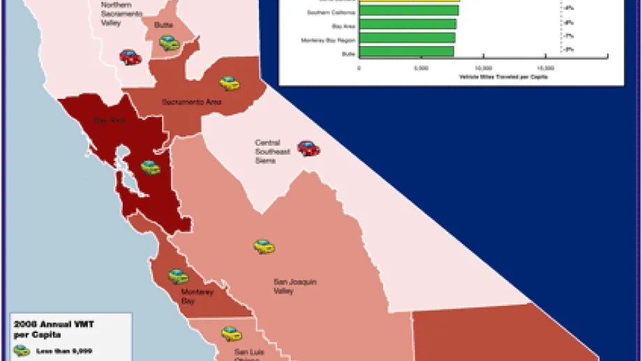
The map of the month shows the annual vehicle miles traveled (VMT) per capita on California's state highway system in 2008. The map shows that the Bay Area has among the lowest VMT per capita of any metropolitan area in the state.