Bay Trail Interactive Map: Now Easier to Use
The San Francisco Bay Trail is a series of more than 350 miles of connected walking and cycling paths around the San Francisco and San Pablo bays. The Bay Trail connects communities, parks, open spaces, schools and transit, and provides space for recreation and active transportation.
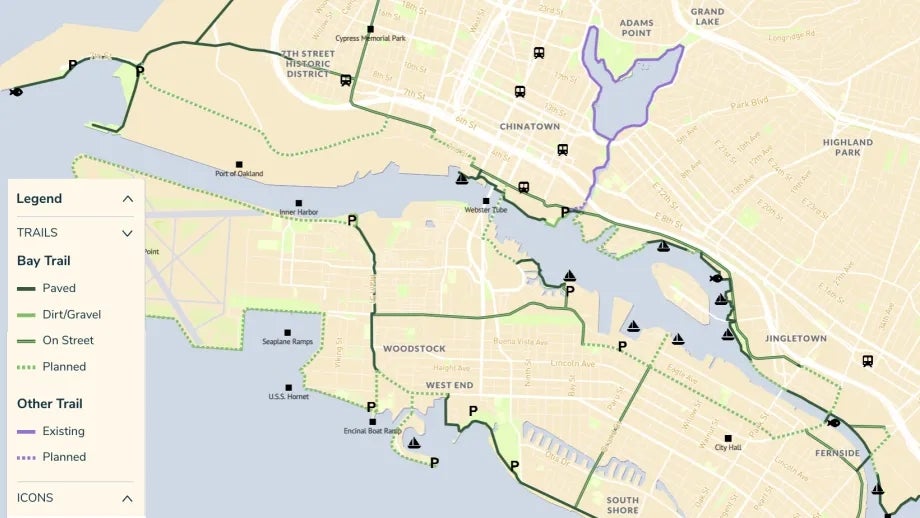
The MTC website features a Bay Trail Interactive Map (formerly called the Bay Trail Navigational Map), which is now easier to use both on desktop computers and mobile devices. Highlights of the new Interactive Map include:
- Better control of the zoom in/out feature
- Links for Trail Segments that bring up direct connections to the Bay Trail Map by Numbers Cards, for more detailed information about birds and nature, local parks and available activities
- A new legend that more clearly shows which segments of the Bay Trail are paved, are dirt/gravel or are on-street paths
- Improved information about planned trail sections
- A display of the connected trail segments that are not a part of the Bay Trail (including existing segments and future planned connections)
- Better icons on the map for points of interest, locations for boating and fishing, parking areas and connections to select train stations
The San Francisco Bay Trail is planned by MTC and the Association of Bay Area Governments. Learn more about the history of the Bay Trail.


Submit your comment
In order to receive a reply to your comment, please provide an email address.