Regional Mapping & Wayfinding Initiative Launches Web Portal, Emphasis on Accessibility and Equity
The Regional Mapping and Wayfinding project underway throughout the Bay Area to make transit journeys easier to understand now has a new web portal on the MTC website.
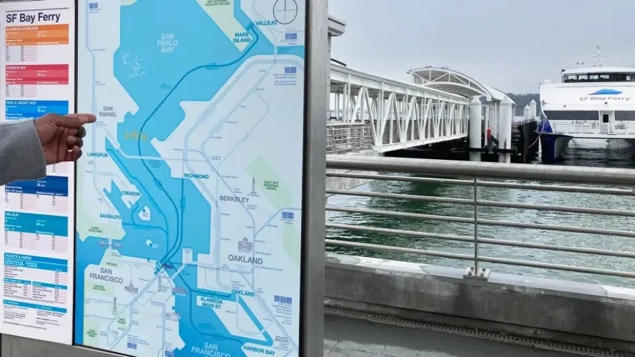
“Wayfinding” describes the ways people orient themselves in physical locations and navigate from place to place. MTC has been working in partnership with riders, and all 27 transit agencies to design and deploy a fully harmonized suite of maps, signs and information in all Bay Area transit locations to make buses, trains and ferries easier to use.
Design and installation of the new wayfinding system is scheduled to begin in 2024 at the El Cerrito del Norte BART station and the Santa Rosa Transit Mall. These are test sites where transit riders can use the new maps and information and provide feedback to help with the development and expansion of the new wayfinding system.
Accessibility and equity are important aims of MTC’s mapping and wayfinding work. Key to the process is getting input from people with disabilities, who rely heavily on public transit to get around the Bay Area.
The new wayfinding system will include high contrast between text and background for better visibility, information at an accessible height, Braille and tactile bus service information, and simplified instructions for using the Clipper electronic transit-fare payment system.
The Mapping and Wayfinding initiative is a key step in implementing the 27-point Bay Area Transit Transformation Action Plan, recommended by the Blue Ribbon Transit Recovery Task Force convened by MTC in 2020 to guide the post-pandemic future of public transportation in the nine-county region and help transit agencies attract new riders and retain existing customers. The action plan’s goal is to make the regional transit network more equitable, efficient, connected and customer focused.


Submit your comment
In order to receive a reply to your comment, please provide an email address.