Bay Crossings Studies
By studying how traffic moves across the San Francisco Bay, MTC plans for a more efficient, less congested future on the region’s roads, bridges and tunnels.
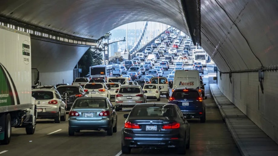
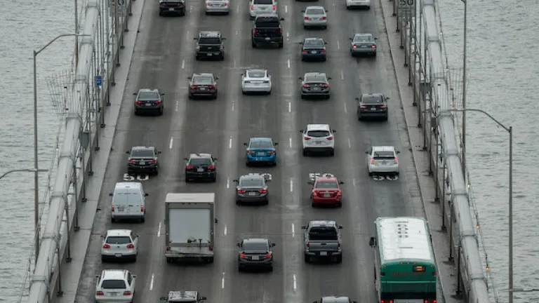
On a typical workday, Bay Area residents make some 500,000 trips over or under the Bay. Being able to cross the Bay efficiently has an impact on the economy and the environment.
MTC periodically takes a big-picture view of the ways residents cross the Bay, and imagines options for our future.
New Options for Crossing the Bay
Developed as part of MTC's Horizon initiative, a 2019 Perspective Paper, “Crossings: Transformative Investments for an Uncertain Future,” examined seven different options for new ways to cross the bay:
- A rebuilt San Mateo-Hayward Bridge
- A new mid-Bay bridge for cars, trucks and buses connecting Interstate 380 in San Bruno to Interstates 880 and 238 in San Lorenzo
- A new BART tunnel connecting new stations in Oakland's Jack London Square and Alameda with stations in San Francisco at Mission and Main streets and Mission and Second streets, providing redundancy to the Embarcadero and Montgomery stations in San Francisco's Financial District
- A new BART tunnel serving the East Bay’s Jack London Square and Alameda, and San Francisco’s Mission Bay, South Beach and Third and Mission streets
- A conventional rail tunnel connecting Caltrain and Capitol Corridor services through the Salesforce Transit Center
- Paired BART and auto tunnels connecting downtown Oakland and Jack London Square to San Francisco's India Basin, Mission Bay and South of Market neighborhoods
- Paired BART and conventional rail tunnels connecting Oakland and Alameda with San Francisco
How much time do drivers spend in congestion on Bay Area freeways? Explore the data.
Horizon’s work was the foundation for Plan Bay Area 2050, a regional plan to help the Bay Area become more affordable, connected, diverse, healthy and vibrant for all by the year 2050.

Plan Bay Area 2050+ is a limited and focused update to the adopted long-range regional plan, Plan Bay Area 2050.

The Crossings effort was led by MTC and the Bay Area Toll Authority with the support of partner agencies, including:
- Alameda County Transportation Commission
- BART
- California State Transportation Agency
- Caltrain
- Caltrans
- Capitol Corridor
- City of Oakland
- City and County of San Francisco
- San Francisco County Transportation Authority
- San Francisco Municipal Transportation Agency
The San Francisco-Oakland Bay Bridge is the region's workhorse bridge, carrying one-third of the traffic —some 270,000 vehicles—on all of the Bay Area’s state-owned toll bridges. The Transbay Tube accounts for more than half— some 80,000 passengers— of BART's average daily ridership.
A new Transbay crossing would create redundancy to these vital assets in the event of a natural disaster or other unforeseen circumstances, while also making it easier to accommodate routine maintenance.
The 2019 Bay Crossings study updated a 2012 study which included data from AC Transit, Altamont Commuter Express, BART, Caltrans and the San Francisco Bay Area Water Emergency Transportation Authority.
The study offered many transportation and transit alternatives and recommendations.
Read the 2012 Bay Crossings Study Update.

