Sea Level Rise Regional Planning Initiatives
MTC, the Association of Bay Area Governments (ABAG) and regional partners are working together to respond to near-term sea level rise adaptation.
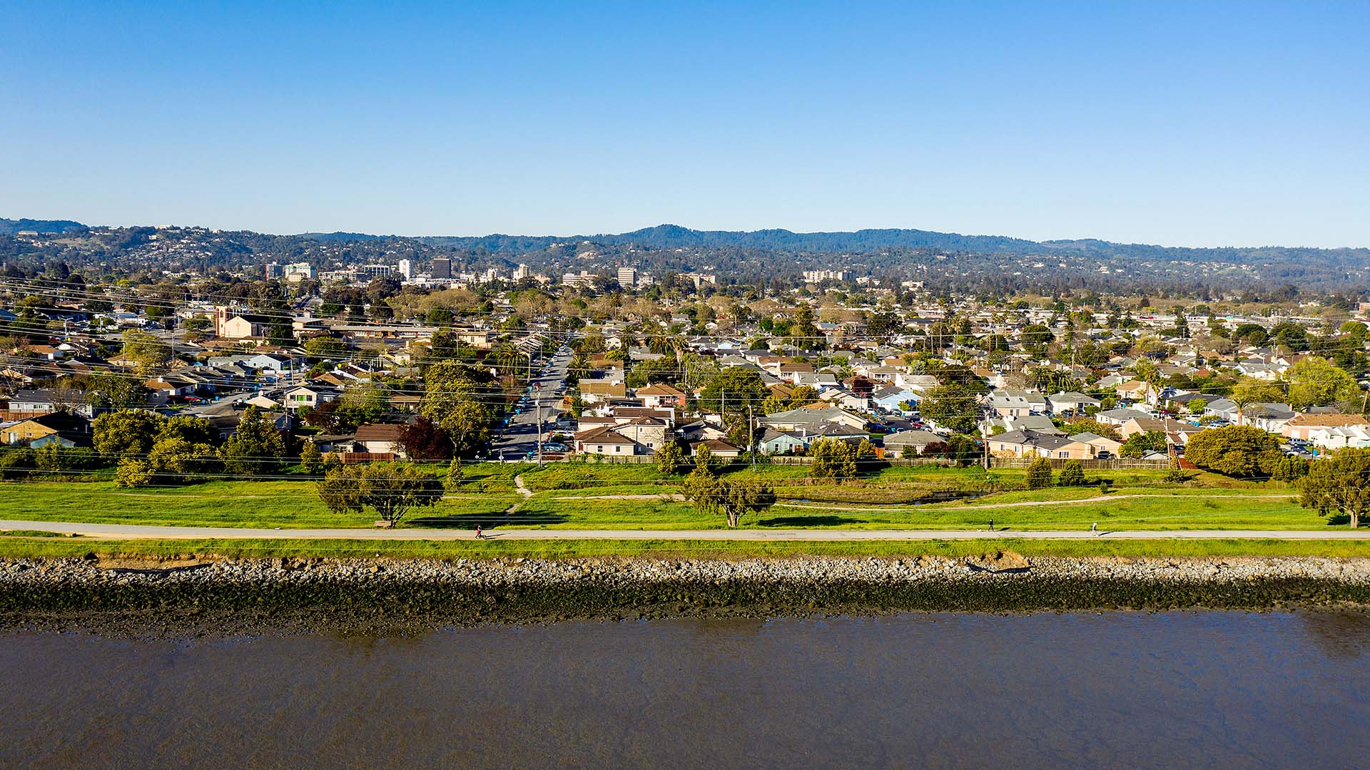
Sea level rise is a challenge that requires regional collaboration – from MTC, the Association of Bay Area Governments (ABAG) and regional partners – to build a resilient Bay Area. These groups are working together to identify projects and funding that can help communities adapt to the near-term effects of sea level rise.
Working Together: Plan Bay Area 2050+ & the Resilience Project List
Plan Bay Area 2050+ is the Bay Area’s long-range plan for transportation, housing, the environment and the economy. Plan Bay Area 2050+ estimates a $96 billion cost to adapt hundreds of miles of Bay Area shoreline to protect against the harms of sea level rise.
Building on Past Efforts
Plan Bay Area 2050+ refined the work from the 2023 Sea Level Rise Adaptation Funding and Investment Framework by:
- Conducting outreach and updating the Framework estimation to identify a $96 billion need for sea level rise adaptation projects.
- Developing a Resilience Project List which prioritizes sea level rise investments based on urgency (when see level rise impacts are expected, also known as inundation timing) and project readiness.
Learn more about the Resilience Project List – what it is, why it exists and what projects are included.

See what is planned for sea level rise adaptation and where additional planning may be needed.

Sea Level Rise Adaptation Funding & Investment Strategy (Investment Strategy)
The Investment Strategy is a regional initiative led by the San Francisco Bay Conservation and Development Commission (BCDC) with support from MTC and ABAG.
The project builds on previous planning efforts, including the Sea Level Rise Adaptation Funding and Investment Framework (2021-2023) and Plan Bay Area 2050+.
The Problem
Since only $6.5 billion in funding is anticipated through 2050, a nearly $90 billion funding gap must be addressed through regional coordination.
MTC and Bay Area agencies must work together to understand vulnerabilities, identify key projects and connect those projects to funding. These are critical steps required to safeguard communities, infrastructure and natural systems.
The Solution: Dashboard Coming in Summer 2026
The Investment Strategy Dashboard – to be released in 2026 – will improve and link key datasets so MTC and regional partners can help connect projects to funding and build the foundation for regional collaboration around sea level rise adaptation funding.
The searchable dashboard will help users find adaptation projects and easily sort and filter funding opportunities. The dashboard will also generate summaries that can be used to highlight key insights to support project sponsors, decision makers and funders.
MTC expects to release the first version of the dashboard in summer 2026, with regular data updates to follow.
Recent Sea Level Rise Planning Initiatives
With each of the following planning initiatives, MTC, ABAG and partners are shaping a cohesive regional response to sea level rise.
Interagency Sea Level Rise Memorandum of Understanding (MOU) (2024)
In July 2024, Bay Area agencies signed a Memorandum of Understanding (MOU) to coordinate funding and investment efforts for sea level rise adaptation. Signers include MTC, ABAG, BCDC, the Bay Area Regional Collaborative (BARC), California State Coastal Conservancy (SCC), and the San Francisco Estuary Partnership (SFEP). The purpose of the MOU is to:
- Align agencies on a shared approach to funding and implementation.
- Help streamline planning efforts across agencies.
- Establish BCDC as the lead in developing the Investment Strategy, with MTC-ABAG as key partners.
Sea Level Rise Adaptation Funding & Investment Framework (2023)
The Sea Level Rise Adaptation Funding and Investment Framework study, co-led by MTC, ABAG and BCDC, was the first to quantify the Bay Area’s sea level rise adaptation needs. The study provided a foundation for future funding initiatives, such as future Plan Bay Area cycles and the Investment Strategy. The final report:
- Identified a $110 billion need for sea level rise adaptation projects.
- Forecasted only $5 billion in anticipated funding through 2050.
- Provided a roadmap for securing additional resources and aligning regional investments.
For more information, see the Framework Resources in the tabs at the bottom of this page.
Additional Recent Initiatives
MTC and ABAG’s initiatives build on work recent past efforts:
- BCDC’s Bay Adapt joint platform
- MTC and ABAG’s Plan Bay Area 2050 Implementation Plan
- The San Francisco Estuary Partnership’s 2022 Estuary Blueprint
Connected Efforts from Our Partners
Staff Contact
Kate Lyons, Resilience and Environmental Planner
Email: klyons@bayareametro.gov
This data-driven research project identified near-term sea level rise adaptation needs and studied possible funding solutions.
- Sea Level Rise Adaptation Funding and Investment Framework Final Report
- Sea Level Rise Adaptation Funding and Investment Framework Technical Methodology Report
- Sea Level Rise Adaptation Funding and Investment Framework: Existing Revenues Spreadsheet
- Sea Level Rise Adaptation Funding and Investment Framework: Estimating Activity Archetype Costs Spreadsheet
- Framework Approval:
- As part of Plan Bay Area 2050+, the framework’s project inventory was updated through engagement with local staff in spring 2024: