Celebrate Bay Day on the Bay Trail and Water Trail October 7
Celebrate Bay Day at over 50 events around the bay on the San Francisco Bay Trail and the San Francisco Bay Area Water Trail on Saturday, October 7. Bay Day connects Bay Area residents to the beautiful and unique ecological wonders of San Francisco Bay. Events include:
- San Francisco – The Yard at Mission Rock: Live music, food trucks and rowing lessons with the Embarcadero Rowing Club
- Angel Island – REI Beach Party: Kayaking, nature photography and hiking
- Redwood City – 451 Seaport Court: Live music, food trucks and vendor booths
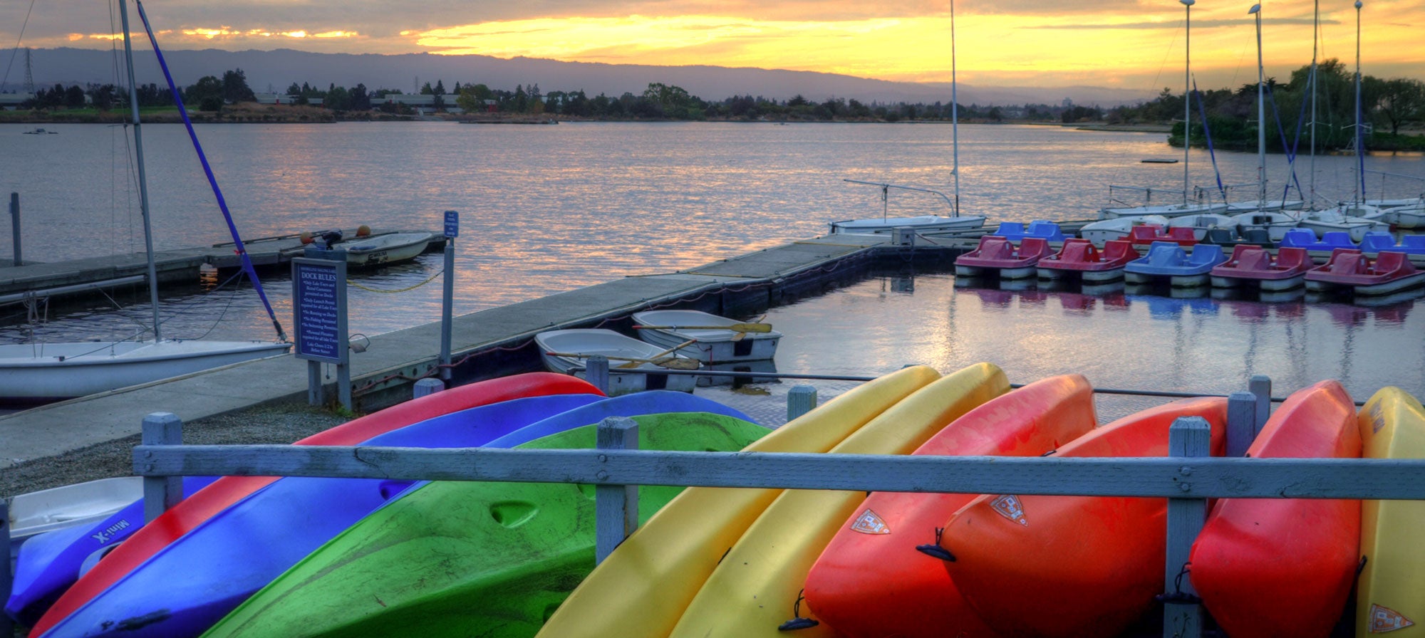
- Oakland – Jack London Square: Family activities, kayaking and featured restaurant discounts
- Benicia State Recreation Area – Walk 1.5 miles with California State Parks natural resource manager and the Vizzit founder showcasing the self-guided Vizzit audio tour, narrated by Doug McConnell
- India Basin Youth Day on the Bay – India Basin Shoreline Park: Kayak on the bay, walk the Bay Trail, and enjoy a barbecue sponsored by Recology, in partnership with the EcoCenter at Heron’s Head Park and Kayaks Unlimited.
A full list of events is available at www.bayday.org.
New Resource to Explore the Bay Every Day
With over 500-square miles of navigable waters, the San Francisco Bay and its tributaries are the Bay Area’s largest open space. Explore this vast, varied and beautiful open space with new Water Trail Maps and a new Water Trail Website at www.sfbaywatertrail.org. Whether you own your own boat or have never paddled before, the mobile-friendly website provides the information you need to plan for a fun and safe day of adventure on the Bay. Launching and landing facilities are also showcased on the Water Trail’s new series of five maps that together encompass San Francisco and Suisun Bays. The Water Trail maps will be featured at many Bay Day events, and companion online interactive maps are also available on the website. The maps were made in partnership with the San Francisco Estuary Partnership, with support from the State Coastal Conservancy and a generous grant from the North Bay Watershed Association.
Background
The San Francisco Bay Area Water Trail is a growing network of designated launching and landing sites, or “trailheads,” around the San Francisco Bay. The Water Trail’s network of sites encourages people to safely explore the Bay in non-motorized small boats (such as kayaks, sailboards, dragon boats, outriggers and stand-up paddleboards) and in a variety of settings through single and multi-day trips.
When completed, the San Francisco Bay Trail will encircle the entire San Francisco Bay, linking all nine Bay Area counties and 47 cities, and crossing seven toll bridges. The San Francisco Bay Trail and Water Trail projects provide funds and technical assistance for planning and construction to local jurisdictions; enlists public participation in trail-related activities; and publicizes the Bay Trail, the Water Trail and their region-wide benefits as part of their mission to plan, promote and advocate for enhanced access to the San Francisco Bay.
The San Francisco Bay Trail and San Francisco Bay Area Water Trail are administered by the Association of Bay Area Governments with support from the State Coastal Conservancy.
The San Francisco Estuary Partnership is a coalition of resource agencies, non-profits, citizens, and scientists working to protect, restore, and enhance water quality and fish and wildlife habitat in and around the San Francisco Bay Delta Estuary.
Submit your comment
In order to receive a reply to your comment, please provide an email address.