511 Tracking Travel Disruptions in Fire Zones
Update as of November 1, 2017: With the North Bay fires contained, 511 has discontinued posting of fire-related road closures and transit disruptions. MTC staff have compiled resources to help cities and counties with the recovery and rebuilding process. See the list here.
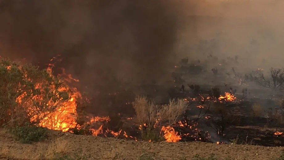
MTC’s 511 traveler information system is monitoring closures on major roads and public transit disruptions in the Napa County and Sonoma County fire zones. Real-time updates are continually posted to 511.org — click on the icons on the home page map for details, or go to the alerts page: 511.org/alerts/critical Updates are also posted to 511's twitter feed: twitter.com/511SFBay Residents are advised to stay off the roads in fire zones to the extent possible.
Related Resources:
Caltrans is posting road closures to twitter: twitter.com/CaltransD4 & twitter.com/CaltransHQ
Get Caltrans’ QuickMap app for fire-related road closures and traffic info in the App Store/Google Play, or go to quickmap.dot.ca.gov
See the Bay Area Quality Management District's Spare the Air tools for monitoring air quality:


Submit your comment
In order to receive a reply to your comment, please provide an email address.