Data Tools
MTC makes data sets and tools available to partners, researchers, residents and anyone who is interested in learning more about what is happening in the Bay Area.
MTC and partners use data to make decisions about investments in the Bay Area’s future. Explore MTC’s data for your own research, app development and more.
The central location for 511’s traffic and transit data.
Census data provides a wealth of information that MTC uses to analyze current trends and to forecast future transportation needs.

BASIS offers key regional datasets for the public to download or access via API for analysis and modeling.
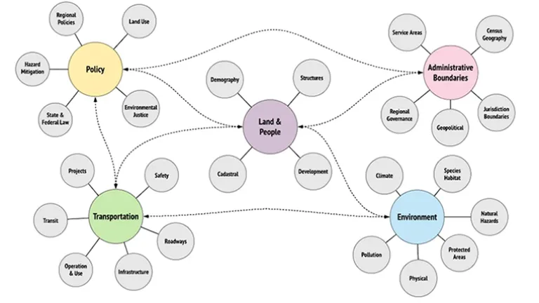
The Bay Area Vision Zero (BayVIZ) System is a dashboard that will improve access to safety-related data and analysis tools, with the goal of reducing traffic fatalities in the nine-county region.
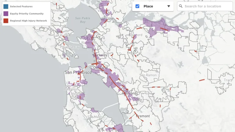
See how many cyclists and pedestrians use the paths on select Bay Area bridges.

Monthly vehicle traffic and public transit ridership numbers from 2019 to the present.
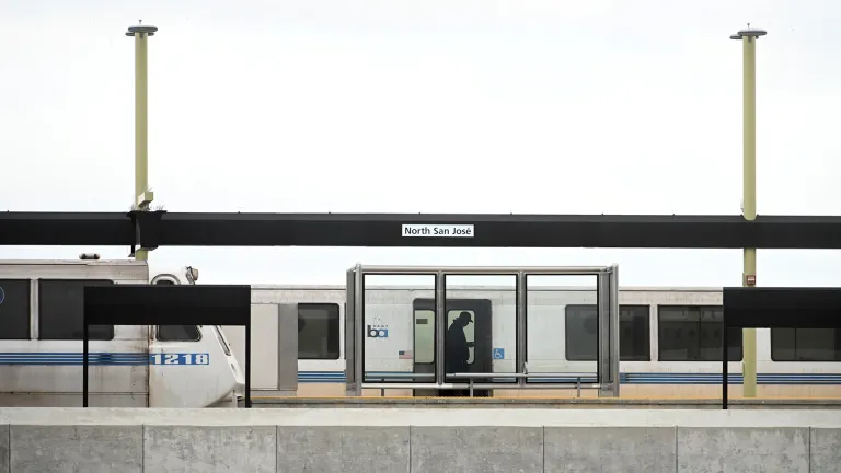
Members of the public, planners, developers and programmers are invited to dive into the resources of MTC’s open data and modeling libraries.

Related Resources
Fund Management System
Explore detailed transportation project funding data.
Maps
Mapmakers transform MTC’s data into compelling illustrations of regional trends in travel, population, land use, the economy and more.
MTC/ABAG Library
Contact the MTC/ABAG librarians for help with research on transportation planning, demographics, economic trends or public policy issues.
Regional Transportation Studies
MTC studies how people travel throughout the Bay Area in order to plan for new and better ways to move around the region.
Vital Signs
MTC's interactive website that offers data, visual representations of that data and written explanations about important trends in the Bay Area.

