Regional Active Transportation Plan
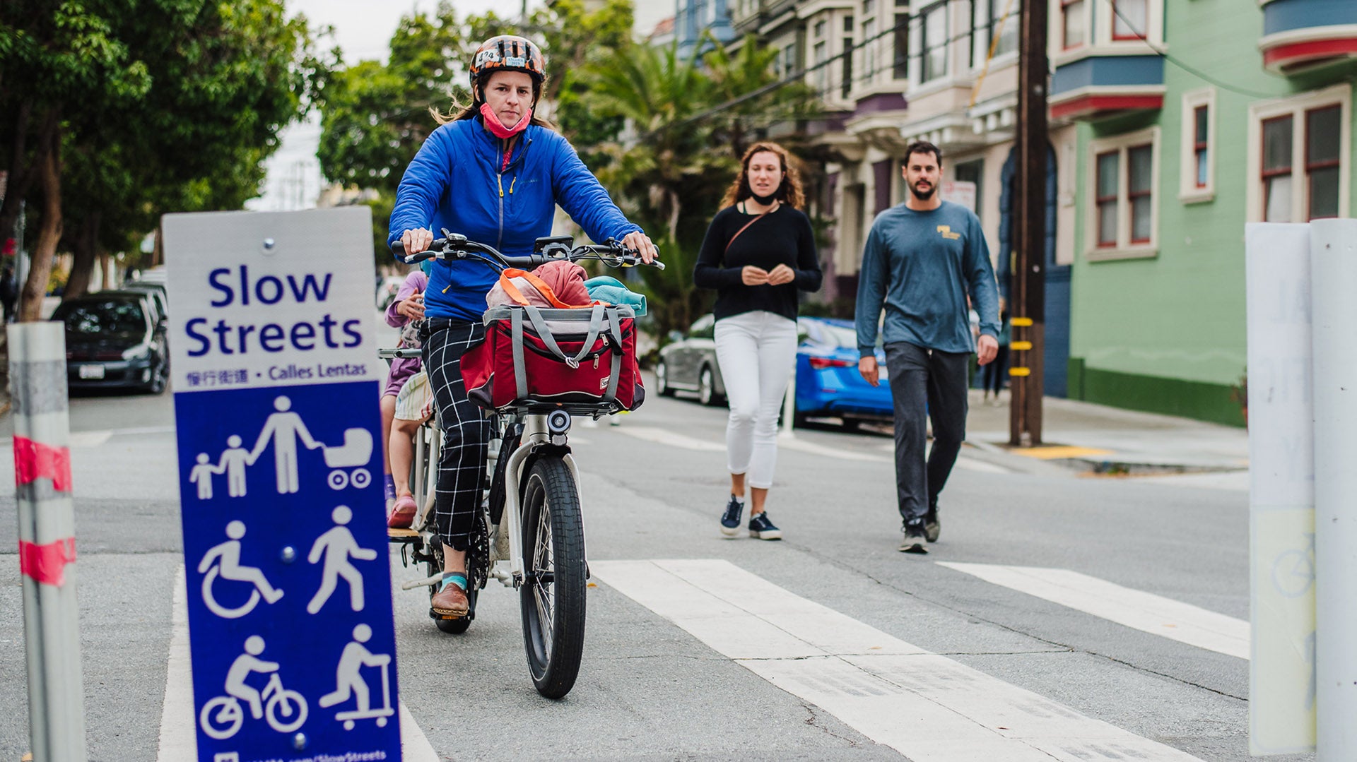
MTC envisions a Bay Area where many more people walk, bike and roll every day on safe, accessible and connected streets, paths and trails to get to people, places and transit. The Regional Active Transportation Plan will help get us there.
MTC’s Active Transportation (AT) Plan was developed to guide MTC’s policy and investment framework needed to achieve the goals of Plan Bay Area 2050+, the long-range regional plan.
It supports the Plan Bay Area 2050+ strategy to build a Complete Streets Network and helps to meet goals for safety, equity, health, resilience and climate change.
Active Transportation Plan history and development, infographics, themes, maps and more.

Key Elements of the Active Transportation Plan:
- Updated Complete Streets (CS) Policy
- Identification of a Regional Active Transportation Network
- Five-Year Implementation Plan which focuses on near-term actions to enhance local capacity to effectively execute the CS Policy and deliver projects on the AT Network. The four focus areas include funding, technical assistance, data and convening
Part of Plan Bay Area 2050+
Plan Bay Area 2050+, the region’s long-range plan for transportation, housing, the economy and the environment, is based on strategies to build a more equitable, affordable, connected, diverse, healthy and vibrant Bay Area for all.
The “Create Healthy and Safe Streets” theme from Plan Bay Area 2050+ is a foundational element of the AT Plan. Read Plan Bay Area 2050+ Chapter 4: Developing the Plan to see details on all strategies, including strategy T9, “Build a Complete Streets network,” and strategy T10, “Advance regional Vision Zero policy through street design and reduced speeds.”
Active Transportation Plan Objectives
Regional Planning Framework
Connect people to areas that will have future growth in housing, jobs and transit over the next 30 years, as identified in Plan Bay Area 2050+.
Safety
Create and maintain a safe environment for people walking, rolling and bike riding
Equity
Provide active transportation options to underserved communities and those with vulnerable populations
Connections
Provide connections to key regional destinations, corridors and public transit
Previous Planning Efforts
Build upon regionally significant planned projects that have been identified through local and county planning efforts
Complete Streets Policy Update
Updated: In March 2022, MTC updated its Complete Streets Policy, Resolution 4493 (from the previous Complete Streets Policy, Resolution 3765, adopted in 2006). This resolution sets forth MTC’s regional policy for provision of Complete Streets, which are transportation facilities that provide safe mobility and improved connectivity to community destinations for all road users, and especially for people biking, walking, rolling and taking transit.
Learn more about the current Complete Streets Policy.
Regional Active Transportation Network
Visit the Active Transportation Plan website. The AT Plan incorporates the work of regional partners:
Adopted County and Caltrans Plans
- Analyze bike, pedestrian and AT plans to see where regional bicycle infrastructure and high-priority pedestrian improvement areas are located
- Understand where there are regional bicycle infrastructure gaps
Regional Bikeway Network (RBN)
- The RBN (and county plans) will serve as the backbone of the AT Network
Regional Planning Framework
Stakeholder Engagement
- Help establish and refine network criteria
- Define the regional AT network and what constitutes a gap in bicycle and pedestrian networks
- Spring 2021: Stakeholder Engagement
- Spring 2022: Adopted Complete Streets Policy (MTC Resolution 4493)
- Summer 2022: Adopted AT Network
- Summer 2023: Implementation Plan Adopted
The AT Plan incorporates the work of regional partners:
- The Regional Bike Network (established as part of the 2001 Bike Plan)
- County AT plans
- Caltrans AT plans
- The Bay Area Trails Collaborative (BATC) network
- Plan Bay Area 2050+