Antioch Bridge
The Antioch Bridge spans the San Joaquin River, connecting northeastern Contra Costa County to Sacramento County.
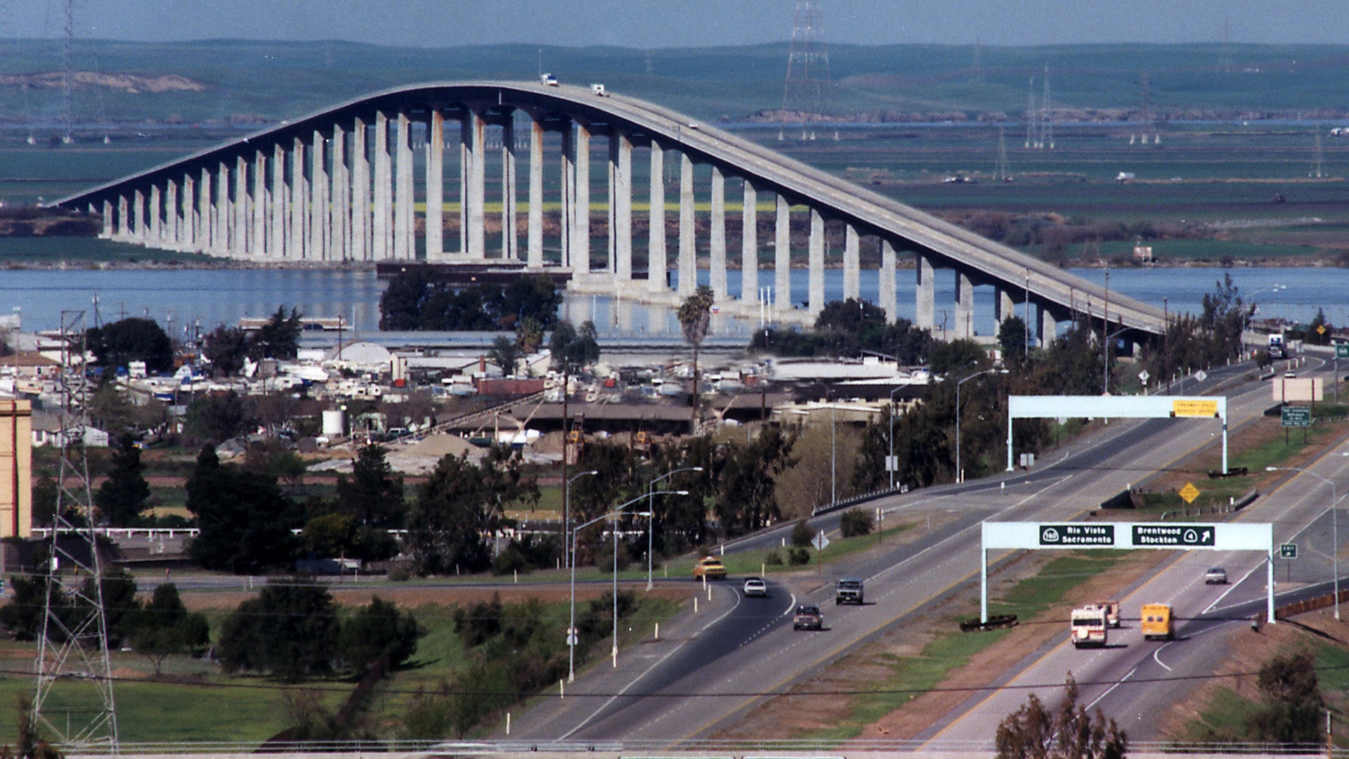
The least traveled of the region’s toll bridges, the Antioch is also the only bridge to reach outside the nine-county Bay Area. From Antioch in northeastern Contra Costa County, the bridge arches over the San Joaquin River, touching down in Sacramento County.
The Antioch Bridge is one of six state-owned toll bridges that currently have bicycle and pedestrian access.

After Caltrans and the Bay Area Toll Authority evaluated the seismic safety of the Antioch Bridge, a 2013 seismic retrofit project was done to make the bridge safer during a major earthquake.


Bridge Facts At-A-Glance
| Location: | State Route 160 between Contra Costa and Sacramento counties |
|---|---|
| Structure: | Steel plate girder |
| Length: | 1.8 miles |
| Vertical Clearance: | 135 feet |
| Channel Span: | 460 feet |
| Opened: |
|
| Cost: |
|
| Auto Toll: | $8.50 |
| Carpools: | $4.25 |
| Collection: | One way, northbound in Antioch |
| Traffic Lanes: | One lane in each direction |
| FY 2022-23 Total Toll-Paid Vehicles: | 3,235,273 |
| FY 2022-23 Total Tolls Collected: | $23,049,802 |
See vehicle traffic and public transit ridership numbers from 2019 to the present.