Richmond-San Rafael Bridge
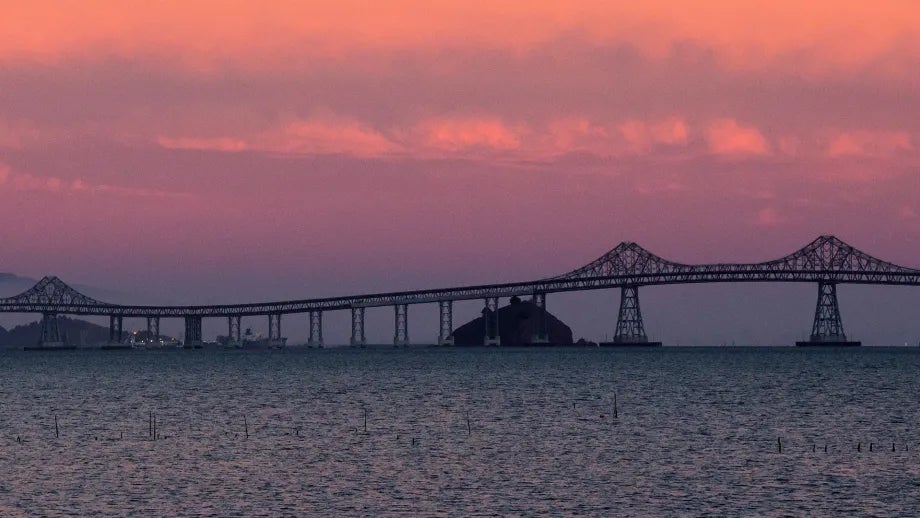
Located on Interstate 580 between Contra Costa and Marin counties, the Richmond-San Rafael Bridge has served the needs of North Bay travelers for more than 60 years.
The Richmond-San Rafael Bridge has served the needs of North Bay travelers for more than 60 years.
Access to the bridge was significantly improved with the completion in 2001 of the Richmond Parkway. This 7.5-mile, four- to six-lane roadway provides bridge users with a direct connection to Interstate 80 near Pinole. Bay Area Transit Authority (BATA)-funded trestle and fender rehabilitation and deck replacement was completed in 2006.
RSR FAQs: Get answers to common questions about bridge improvements.
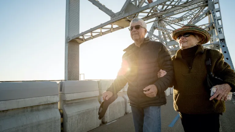
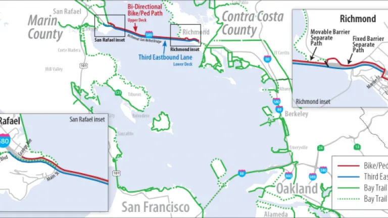
The bicycle and pedestrian path across the Richmond-San Rafael Bridge is part of the 500-mile San Francisco Bay Trail.
Bridge Facts At-A-Glance
| Location: | Interstate 580 between Contra Costa and Marin counties |
| Structure: | Cantilever and truss |
| Length: | 5.5 miles (including approaches) |
| Vertical Clearance: | 185 feet |
| Channel Span: | 1,070 feet |
| Tower Height: | 325 feet |
| Opened: | September 1956 |
| Cost: | $66 million |
| Auto Toll: | $7 |
| Carpools: | $3.50 |
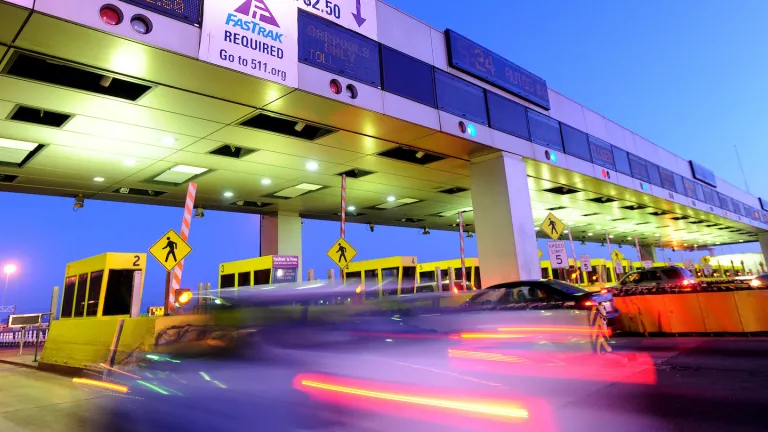
| Collection: | One way, westbound in Richmond |
| Traffic Lanes: | Two lanes in each direction |
| FY 2022-23 Total Toll-Paid Vehicles: | 12,874,043 |
| FY 2022-23 Total Tolls Collected: | $90,813,631 |
| Bridge Path Counter Data: | Access bicycle and pedestrian counter data |
See vehicle traffic and public transit ridership numbers from 2019 to the present.
Regional Measure 1, approved by Bay Area voters in 1988, raised tolls on the Bay Area’s seven state-owned toll bridges to fund bridge improvements and parkway construction.


