Richmond-San Rafael Bridge Path
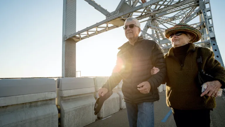
The bicycle and pedestrian path across the Richmond-San Rafael Bridge creates a new route across the Bay and a vital link in the 500-mile San Francisco Bay Trail.
The path will be closed from 9 p.m. on Sunday, May 19 through 5 a.m. on Monday, May 20. Bike shuttles will be provided for those impacted by the closures.
A New Way Across the Bay
The bicycle and pedestrian path across the Richmond-San Rafael Bridge (opened in 2019) gives travelers breathtaking views of San Francisco Bay on this new, green route between Marin and Contra Costa counties.
The 10-foot-wide bicycle/pedestrian path meets Americans with Disabilities Act standards.
With the opening of the new path, the Richmond-San Rafael Bridge is now part of the San Francisco Bay Trail. The roughly six-mile bicycle and pedestrian path for the first time connects the Bay Trail between Contra Costa and Marin counties, adding another link in this major bicycle and hiking network. A boon for residents in both counties!
The path runs along the north side of Interstate 580 from Castro Street in Richmond across the upper deck of the bridge to East Francisco Blvd. in San Rafael.
The path is part of a pilot program that runs through 2024. Check back for updates.
RSR FAQs: Get answers to common questions about bridge improvements.
The Richmond-San Rafael Bridge bicycle and pedestrian path is open 24 hours a day, seven days a week.
Two access points provide a direct route to the path. In San Rafael: Vista Point at the end of East Francisco Boulevard/San Quentin off-ramp from westbound Interstate 580. In Point Richmond: Castro Street and Tewksbury Avenue.
Pedestrian & Cyclist Safety
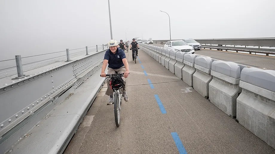
Cyclists and pedestrians on the 10-foot wide, bi-directional path on the bridge’s upper deck are separated from traffic by a movable concrete barrier system, similar to the one installed on the Golden Gate Bridge in 2015.
How many bikes and pedestrians have crossed the Richmond-San Rafael Bridge trail since November 2019? What times of day do most bikes and pedestrians make the trip?

So everyone can enjoy the breathtaking views from the Richmond-San Rafael Bridge, there is a convenient bikeshare station on Tewksbury Avenue in Point Richmond. Rent e-bikes for use on the six-mile Bay Trail path that connects Contra Costa and Marin counties.

The estimated $20 million path project was developed at the same time as another Richmond-San Rafael Bridge project, which added an eastbound peak-period vehicle lane. Together, these two projects help reduce vehicle congestion on the bridge.
BATA partnered with Caltrans, the Contra Costa Transportation Authority and the Transportation Authority of Marin on both of these projects.
The RSR Rides program is a part of the Richmond-San Rafael Forward initiative that addresses congestion and improves options for traveling in the RSR Bridge corridor.
The RSR Rides program supports local community organizations and bicycle retailers who lead group bike and e-bike rides on the RSR Bridge during peak periods.
All rides begin from within a quarter mile of a high-frequency transit stop (such as a BART station). Rides include bike education and safety, and offer opportunities to try riding e-bikes.
Learn more on the Richmond-San Rafael Forward page.

