Walking
Lace up your shoes and take in the sights at a walking pace. Every section of the trail has something to see.
Marina Green to Crissy Field (San Francisco)
An approximately 2.5-mile walk (each way) from the foot of Fort Mason to the Warming Hut at Crissy Field. This flat shoreline walk features amazing views and both paved and natural surfaces.
- See Map 1 - San Francisco Northern Waterfront
Sierra Point to Oyster Point (Peninsula)
Walking the 4 miles along this paved trail between two marinas brings you back in time to a place where oysters were farmed and ships were built along the edge of a calm inlet called Oyster Cove.
- See Map 3 - Brisbane Lagoon to Bayside Park
Bedwell Bayfront Park (South Bay)
Stroll along this paved, 2-mile trail that loops around a former-landfill-turned-park. From the park’s top knoll, a 360-degree view of the Don Edwards San Francisco Bay National Wildlife Refuge tempts willing hikers.
- See Map 5 - Redwood Shores to Ravenswood Slough
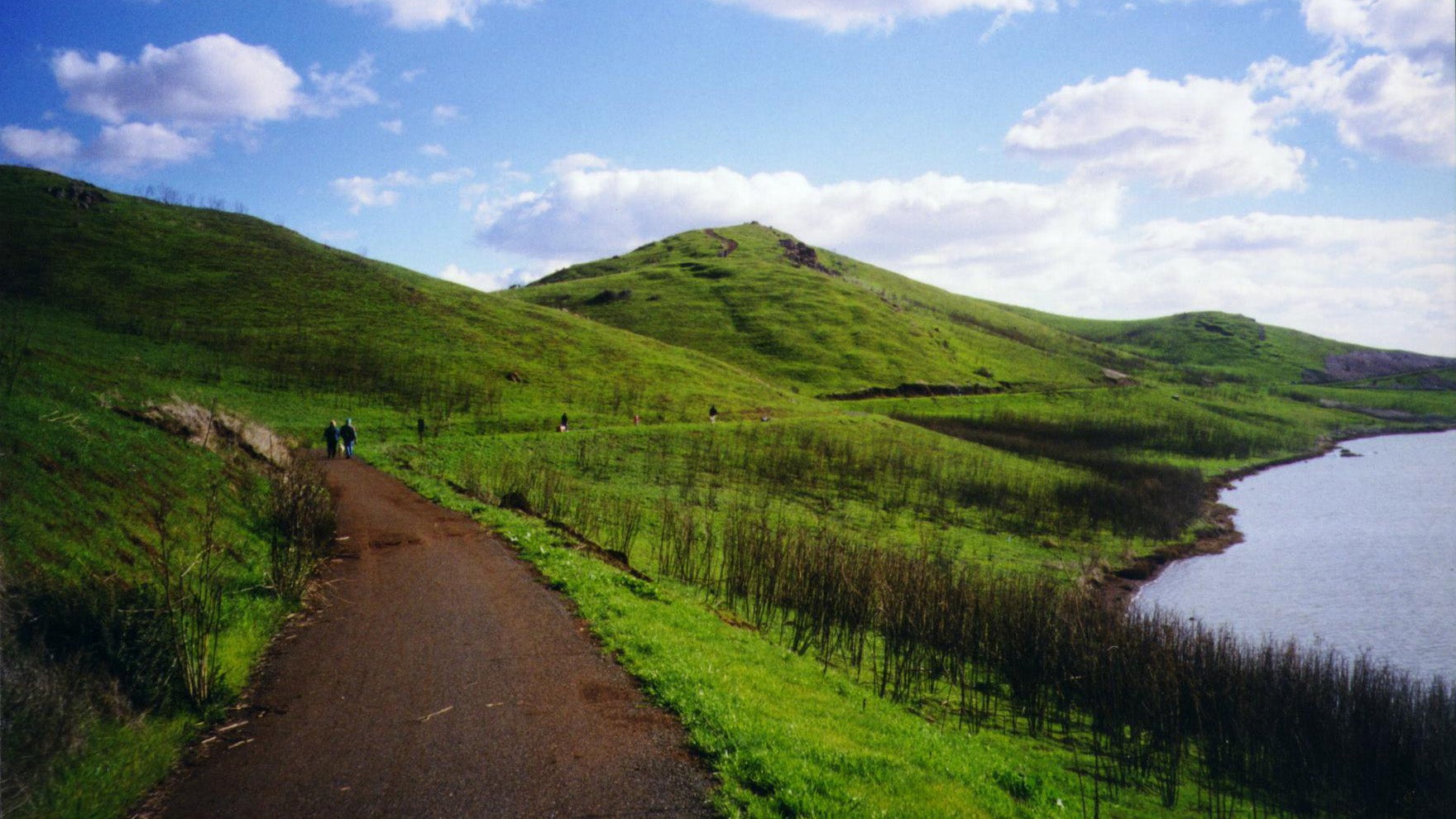
Coyote Hills Regional Park
With over 16 miles of Bay Trail to choose from, the hikes here are for the adventurous long trekker who will be rewarded with amazing views of rolling hills and large expanses of bay. Hikers can see a wide variety of shorebirds and waterfowl on these trails that offer a sense of the wildness of the bay.
- See Map 8 - Newark to San Leandro
Berkeley Waterfront to Emeryville Marina
This popular walk from University Avenue to Shorebird Park in Emeryville runs along the bay and provides stunning views of the bay and Golden Gate Bridge. It’s just under 2 miles each way for a total of 4 miles round trip.
- See Map 12 - Oakland to Albany
Richmond Marina Bay
From the Craneway Pavilion, follow the shoreline to Marina Bay Park and stop to learn about the Richmond waterfront history at the Rosie the Riveter Memorial. From here, you follow the same path back for a total of just over 2.3 miles. During the walk you can watch the activities at the Marina and watch boats sailing through.
- See Map 13 - Albany to Richmond
George Miller Trail (Martinez)
This 1.7-mile-long trail (each way) is located on an abandoned road that was rehabilitated into a bicycle/walking trail. It runs along a high bluff overlooking the Carquinez Strait and provides a bird’s-eye view of the ships passing through. If you’re lucky, you might also catch a glimpse of an Osprey or other hawk riding the winds above. Follow Carquinez Scenic Drive westward from Martinez until you meet the trailhead.
- See Map 16 - Carquinez Strait
Benicia State Recreation Area
An approximately 3-mile walk (each way), the trail is both paved and natural surface, and offers great views of the Carquinez Strait. Not steep, but not entirely flat.
- See Map 16 - Carquinez Strait
Vallejo Promenade
An approximately 1.4-mile walk (each way) from River Park off Wilson Ave to Independence Park off Mare Island Way. This flat shoreline walk offers great views of Mare Island, the former Naval Station, and passes by the Vallejo Ferry. Trail surface is both paved and natural.
- See Map 17 - Benicia State Recreation Area to White Slough Path
American Canyon River/Bay Trail
During this 2-3 mile walk (options for shorter or longer), you’ll see restored marshlands, sweeping vistas and a glass beach. Trail surface is mostly natural, with a short paved segment from the parking lot at the intersection of Wetlands Edge Road and Eucalyptus Drive.
- See Map 18 - Northern Vallejo to Napa
Sonoma Baylands (Petaluma)
An approximately 1.5-mile walk (each way), this is a great place for birding and for witnessing a wetland restoration in action. Park near Port Sonoma Marina and walk towards the bay.
- See Map 19 - Hudeman Slough to Black Point
Tiburon Bay Trail
Some of the most beautiful shoreline Bay Trail in the regional nine-county system, this 2.5-mile (each way) paved path begins at Blackie’s Pasture and ends downtown where you can hop a ferry to San Francisco or to Angel Island.
- See Map 23 - Richmond-San Rafael Bridge